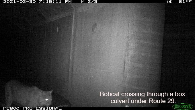
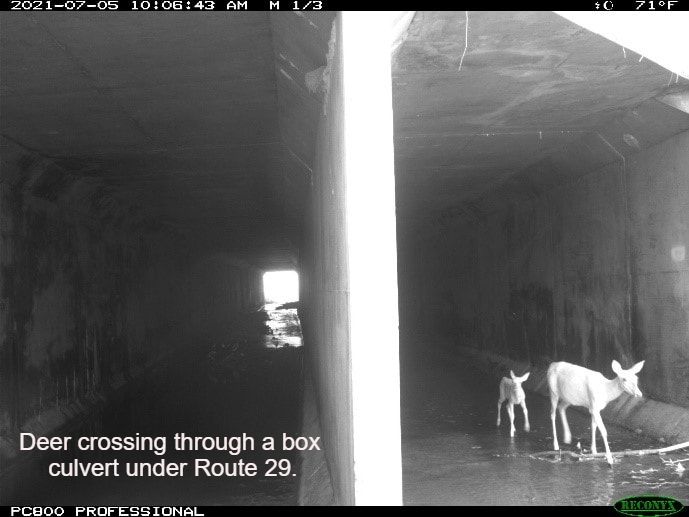
Albemarle County’s Biodiversity Action Plan identifies the Southern Albemarle Mountains as one of three Conservation Focus Areas. This area includes the County’s highest elevations east of the Blue Ridge and is comprised of large, well-connected forest blocks with high ecological
integrity. The Southern Albemarle Mountains are bisected by Route 29, a major highway and impediment for wildlife crossing. Police reports and anecdotal data show a high incidence of collisions in this area, including deer, bear, and bobcat. The County’s Natural Resources
Program is monitoring wildlife movement at four underpasses and investigating possible improvements to the crossing sites, with the goal of helping to facilitate safe passage for wildlife across the highway, reduce collisions, and ultimately improve safety for both people
and wildlife. Contact Kim Biasiolli <[email protected]> to learn more. Click here to learn how citizen science is helping to inform this project work through a monitoring study of wildlife-car collisions on Highway 29.
|
|
